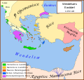
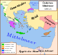
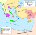
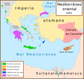
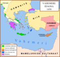
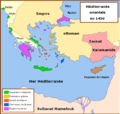
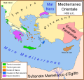
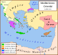
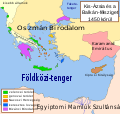
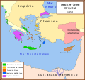
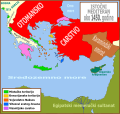
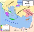
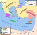
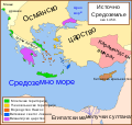
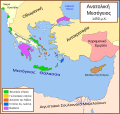
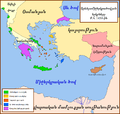
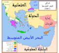
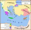
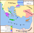
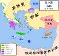
Bestand:Eastern Mediterranean 1450.svg
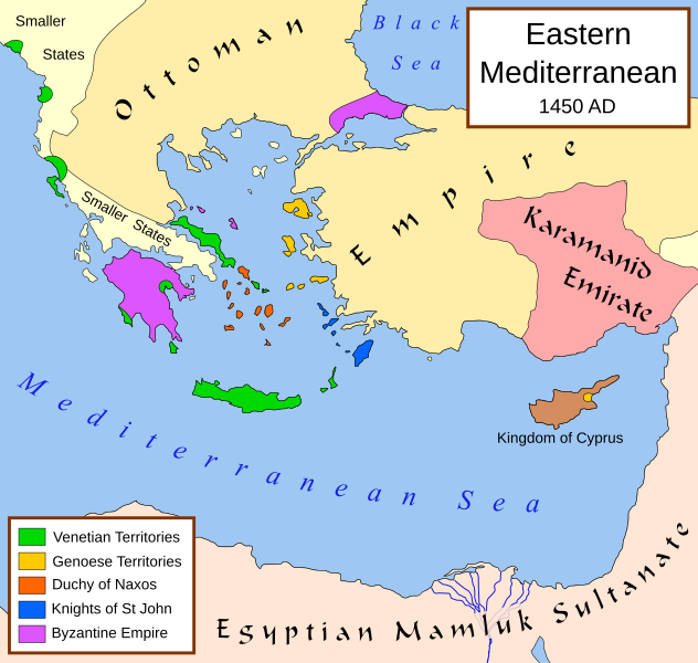
Afmetingen van deze voorvertoning van het type PNG van dit SVG-bestand: 632 × 600 pixels Andere resoluties: 253 × 240 pixels | 506 × 480 pixels | 810 × 768 pixels | 1.079 × 1.024 pixels | 2.159 × 2.048 pixels | 2.497 × 2.369 pixels.
Oorspronkelijk bestand (SVG-bestand, nominaal 2.497 × 2.369 pixels, bestandsgrootte: 265 kB)
Bestandsgeschiedenis
Klik op een datum/tijd om het bestand te zien zoals het destijds was.
| Datum/tijd | Miniatuur | Afmetingen | Gebruiker | Opmerking | |
|---|---|---|---|---|---|
| huidige versie | 9 jul 2017 13:40 |  | 2.497 × 2.369 (265 kB) | Joe Roe | removed black outer border |
| 6 aug 2013 13:10 |  | 2.529 × 2.395 (334 kB) | Phso2 | sporades | |
| 1 jul 2013 12:25 |  | 2.529 × 2.395 (333 kB) | Phso2 | cf disc | |
| 16 okt 2007 17:15 |  | 2.529 × 2.395 (333 kB) | MapMaster | small fix | |
| 9 sep 2007 19:56 |  | 2.529 × 2.395 (332 kB) | MapMaster | Further slight changes, particularly Thessaloniki. | |
| 9 sep 2007 05:23 |  | 2.529 × 2.395 (335 kB) | MapMaster | More changes based on Alekkas' research. | |
| 7 sep 2007 04:50 |  | 2.529 × 2.395 (348 kB) | MapMaster | Slight modifications based on information from User:Alekkas on my talk page. | |
| 17 apr 2007 04:08 |  | 2.529 × 2.395 (347 kB) | MapMaster | Added missing text | |
| 14 apr 2007 06:20 |  | 2.529 × 2.395 (321 kB) | MapMaster | slight update | |
| 13 apr 2007 21:52 |  | 2.529 × 2.395 (316 kB) | MapMaster | A political map of the eastern Mediterranean Sea, in 1450. |
Bestandsgebruik
Dit bestand wordt op de volgende 4 pagina's gebruikt:
Globaal bestandsgebruik
De volgende andere wiki's gebruiken dit bestand:
- Gebruikt op ar.wiki.x.io
- Gebruikt op arz.wiki.x.io
- Gebruikt op ast.wiki.x.io
- Gebruikt op azb.wiki.x.io
- Gebruikt op az.wiki.x.io
- Gebruikt op be.wiki.x.io
- Gebruikt op bg.wiki.x.io
- Gebruikt op bn.wiki.x.io
- Gebruikt op bs.wiki.x.io
- Gebruikt op ca.wiki.x.io
- Gebruikt op cs.wiki.x.io
- Gebruikt op de.wiki.x.io
- Gebruikt op el.wiki.x.io
- Gebruikt op en.wiki.x.io
Globaal gebruik van dit bestand bekijken.
