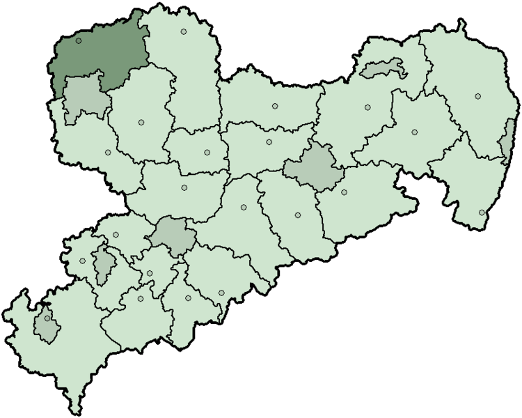
Bestand:Saxony dz.png

Grootte van deze voorvertoning: 750 × 600 pixels. Andere resoluties: 300 × 240 pixels | 600 × 480 pixels.
Oorspronkelijk bestand (800 × 640 pixels, bestandsgrootte: 12 kB, MIME-type: image/png)
Bestandsgeschiedenis
Klik op een datum/tijd om het bestand te zien zoals het destijds was.
| Datum/tijd | Miniatuur | Afmetingen | Gebruiker | Opmerking | |
|---|---|---|---|---|---|
| huidige versie | 10 feb 2008 19:47 |  | 800 × 640 (12 kB) | TMg | New version. Some border lines changed in the last years. Own work. |
| 28 feb 2006 13:21 |  | 280 × 212 (11 kB) | Tsca.bot | Karte Sachsens m,it dem Landkreis Delitzsch Karten sind selbsterstellt, z.T. durch triviales Ausmalen der Vorlagen aus [http://en.wiki.x.io/wiki/Wikipedia:WikiProject_German_districts/Maptemplates]. Daher allesamt GFDL. {{GFDL}} [[Category:Maps of |
Bestandsgebruik
Dit bestand wordt op de volgende pagina gebruikt:
Globaal bestandsgebruik
De volgende andere wiki's gebruiken dit bestand:
- Gebruikt op bg.wiki.x.io
- Gebruikt op de.wiki.x.io
- Gebruikt op en.wiki.x.io
- Gebruikt op eo.wiki.x.io
- Gebruikt op fa.wiki.x.io
- Gebruikt op fr.wiki.x.io
- Gebruikt op ka.wiki.x.io
- Gebruikt op kk.wiki.x.io
- Gebruikt op mk.wiki.x.io
- Gebruikt op no.wiki.x.io
- Gebruikt op pl.wiki.x.io
- Gebruikt op pt.wiki.x.io
- Gebruikt op ro.wiki.x.io
- Gebruikt op ru.wiki.x.io
- Gebruikt op simple.wiki.x.io
- Gebruikt op sv.wiki.x.io
- Gebruikt op zh.wiki.x.io
